Two years ago, research by the University of Hawai`i’s School of Ocean and Earth Science and Technology (SOEST) revealed that flooding from the combination of a one-meter rise in sea level and a hurricane or a tsunami could affect 80 percent of the economy located between Pearl Harbor and Waikiki, with the total cost of those impacts reaching into the tens of billions of dollars.
Now, as part of the statewide effort to prepare a Sea Level Rise Vulnerability Assessment and Adaptation Report (SLR report) by the end of next year as required under 2014’s Act 83, SOEST researchers have been focusing their sea-level-rise modeling efforts on areas outside Honolulu’s urban core, looking not at tsunami or storm surge-related flooding, but that associated with groundwater inundation, coastal erosion, seasonal (non-storm) wave inundation, and a 100-year coastal flooding event. Using their modeling results, consulting and engineering firm Tetra Tech has been analyzing the potential social and economic impacts, census block by census block.
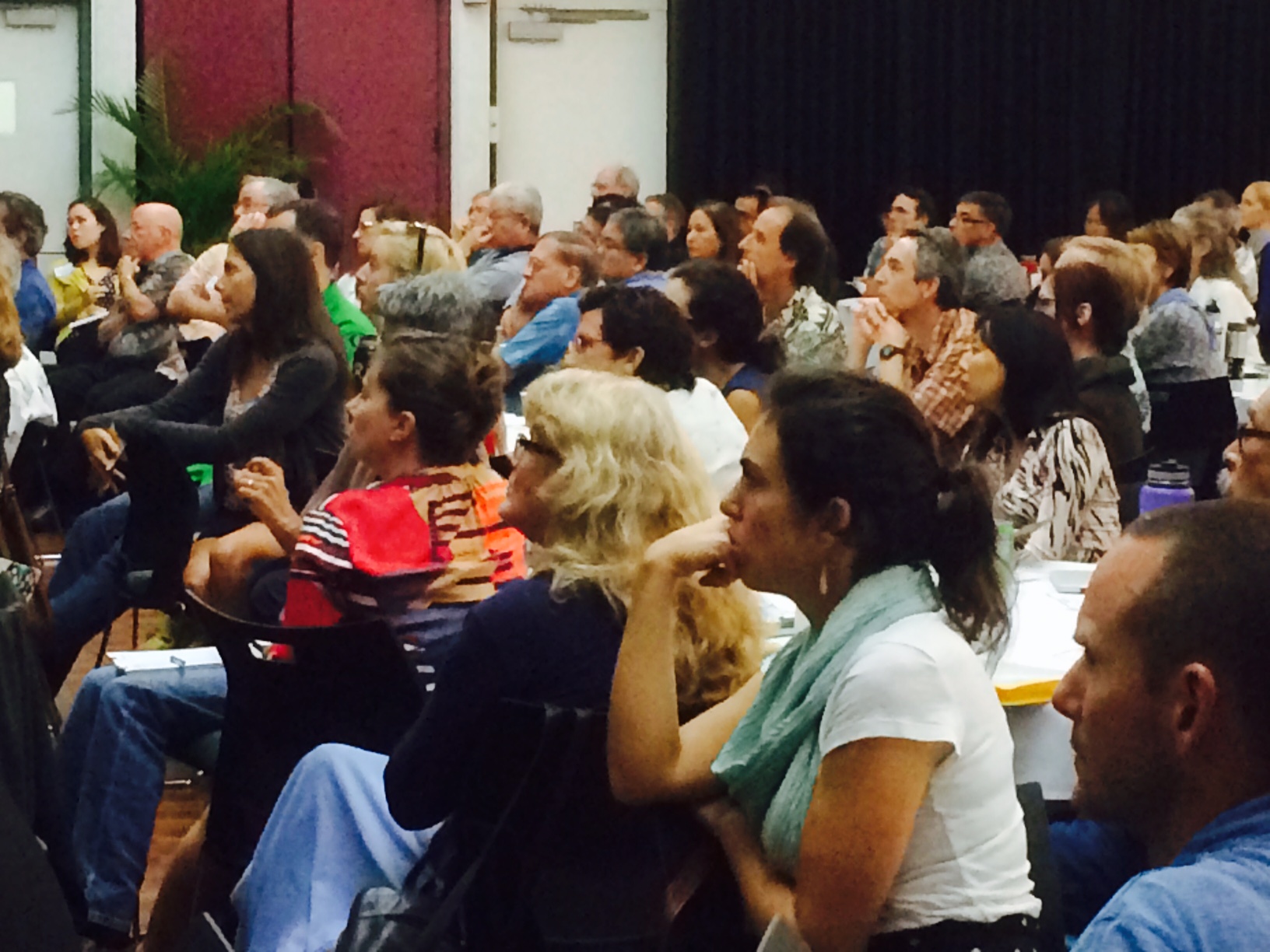
Last month at a sea level rise vulnerability and adaptation workshop sponsored by the state Department of Lands and Natural Resources, the state Office of Planning, SOEST and UH Sea Grant, Tetra Tech’s Catherine “Kitty” Courtney and SOEST associate dean Chip Fletcher provided a sobering glimpse of what could be in store for O’ahu’s `Ewa Beach, which already has a narrow, chronically eroding shoreline.
Over the last decade or so, the `Ewa Beach population has grown by 50 percent to about 64,000 residents and most homes there have been built at ground level, Fletcher said. With an anticipated 1.06-foot rise in sea level by 2050, the area will lose $29.63 million worth of land and buildings to coastal erosion, according to Courtney’s presentation. By 2100, when sea level is expected to have risen by 3.2 feet, which is roughly one meter, the land and building losses due to coastal erosion will total $54.88 million.
As for temporary losses due to seasonal wave run-up and a 100-year flood, Courtney reported that the costs would be $10.2 million (347 structures) and $56.7 million (1,308 structures), respectively.
In total, 1,295 households in `Ewa Beach will be lost due to coastal flooding by 2100, displacing more than 5,000 people, she found.
Costly as it seems, it’s likely the true impacts would be worse, according to Fletcher’s statements. He explained that the modeling done for `Ewa Beach does not reflect real-life conditions. Because of time constrains, he said, his team has been forced to model waves as if they are running up onto the shore in a flume, every 20 meters, rather than refracting off of each other and the environment. Fletcher said this approach has likely led to an underestimate of the threat of wave inundation.
He also explained that the model being used incorporates sea level rise projections from the worst-case scenario in the Intergovernmental Panel on Climate Change’s most recent report, which is far more conservative than projections by many other researchers.
“We might be shooting too low. Sea level may certainly be much higher,” he said. “Looking at the geological evidence, we know sea level rise is not going to stop at 2100.”
Given current temperatures, which are one degree Celsius more than those in the pre-industrial era, sea level will not stop rising until it’s 10 feet above pre-industrial levels, he said, adding that if they rise — in accordance with the cap agreed to at the recent United Nations climate change conference in Paris — to two degrees above pre-industrial levels, sea level will rise for many meters above that.
A recent study by SOEST researchers found that once sea level rises to certain critical elevations, flooding increases dramatically. For `Ewa Beach, the model shows that a four-foot rise in sea level — only 25 percent more than what’s projected for 2100 — will lead to “enormous flooding” by groundwater and the ocean.
“If we get to four feet, which we eventually will, it’s a catastrophic situation,” he said.
SOEST has done the same kind of modeling for several other communities on O`ahu. Over the next year or so, Courtney said, Tetra Tech will eventually be doing similar analyses for every island to “provide benchmark information to start thinking about these challenges ahead.”
“We’re an island state. We may not be able to move our airport. We may have to find ways to protect critical infrastructure with hardening structures even though we know that has some adverse effects,” she said.
With regard to structures not yet built, “we need to think about how to discourage development in high risk areas,” she said, posing the question: “Do we need property disclosures to help us say, ‘There are certain hazards on this property’?” And when it comes to expensive public projects, “how do we ensure these projects are considering sea level rise?” she asked.
Ensuring government planning documents include the latest climate science is a start. Last year, the former head of Honolulu’s Department of Environmental Services lamented at an engineering workshop that the county’s planning documents so far have not taken climate change or sea level rise into account. Courtney noted that Kaua`i county, at least, has finally decided to incorporate sea level rise and climate change into its general plan update.
— Teresa Dawson


Leave a Reply